Geospatial Data with Apache Spark – Intro to RasterFrames

Apache Spark and RasterFrames the big data geospatial processing juggernaut.

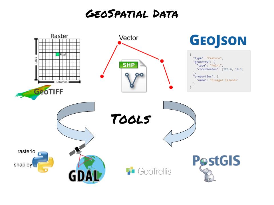
Yikes, distributed geospatial data processing at scale. That has fun written all over it… not. There isn’t that many people doing it so StackOverflow isn’t that useful. Anyone who has been around geospatial data knows the tools like GDAL are notoriously hard to use and buggy… and that one’s probably the “best.” What to do when you want to process and explore large satellite datasets like Landsat and Modis? Terrabytes/petabytes of data, what are going to do, download it? The power of distributed processing with Apache Spark. The simplicity of using SQL to work on geospatial data. Put them together… rasterframes. What a beast.

Read more

Thunderdome for Geospatial Tools in Python. It’s to the Death.

A fight to the death. A comparison of geo-spatial tools in Python. What’s easy and fast to use.

It’s a fight to the death people… that’s why it’s called Thunderdome. This will be no different. Last time we talked about the very basics of the strange world of geo-spatial tools for data engineering. The next most obvious thing do of course is to see what tool is the best. By best I mean what tools can be used to load and do simple manipulation of data in a fast and relatively simple manner.

Read more

Gentle Introduction to Geospatial for Data Engineers

Quick view of geospatial data landscape.

What does a data engineer need to know about working with geospatial data? I’m going to give my two cents on what is and is not important. First, prepare to be annoyed as you will most likely spend hours debugging strange and not obvious errors and bugs. You should run screaming the other way, but in case that is not a option, here are the basics.

Read more