3 (Or More) Ways to Open a CSV in Python
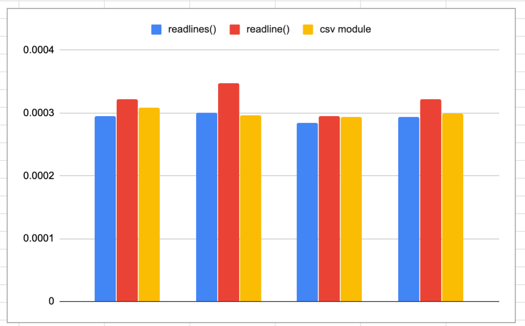
Ah. What a classic. The one piece of code that I end up writing over and over again, you would think I would have stashed it away by now. Not going to lie I usually have to Google it, while thinking, is this the right way? Should I just open the csv file and iterate it? Should I import the csv module? Should I just use Pandas? Does it matter? Probably not.

Read more

How Smart Engineers Create Bad Software

The curse of the software that never works.

You ever wonder how a room full of what appears to be smart engineers manage to build software that doesn’t work? Given more time and money, it appears to only get worse or no better. It doesn’t make that much sense does it? As someone who writes software it’s hard to see how bugs that bring whole systems down seem never to be fixed. Or how 5 bugs get fixed but 10 more appear in their place.

Read more

Thunderdome for Geospatial Tools in Python. It’s to the Death.

A fight to the death. A comparison of geo-spatial tools in Python. What’s easy and fast to use.

It’s a fight to the death people… that’s why it’s called Thunderdome. This will be no different. Last time we talked about the very basics of the strange world of geo-spatial tools for data engineering. The next most obvious thing do of course is to see what tool is the best. By best I mean what tools can be used to load and do simple manipulation of data in a fast and relatively simple manner.

Read more

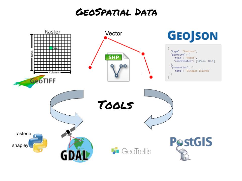
Gentle Introduction to Geospatial for Data Engineers

Quick view of geospatial data landscape.

What does a data engineer need to know about working with geospatial data? I’m going to give my two cents on what is and is not important. First, prepare to be annoyed as you will most likely spend hours debugging strange and not obvious errors and bugs. You should run screaming the other way, but in case that is not a option, here are the basics.

Read more